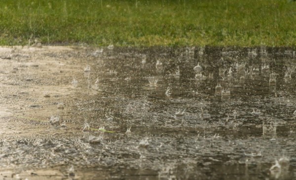
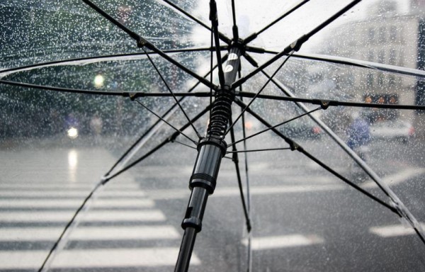
An East Coast Low lies off the Mid North Coast of New South Wales and is directing humid air and areas of moderate to heavy rain across the central east of the state.
Moderate to heavy rain should continue in parts of the central east throughout Sunday, and may continue through Monday as well if the low approaches the coast. DAMAGING WINDS and HEAVY RAINFALL for the following areas: Hunter, Metropolitan, Illawarra, Central Tablelands and Southern Tablelands.
HEAVY RAINFALL which may lead to FLASH FLOODING is forecast to continue in the Illawarra and Sydney Metropolitan districts this morning, before the focus of the heaviest rain moves into the Hunter district through Sunday afternoon.
The heaviest rain will remain over the Hunter during Monday, and also extend back over the Sydney Metropolitan and Illawarra districts Monday as the East Coast Low approaches the Hunter coast.
Six-hourly rainfall totals between 70 to 120 mm are possible.
Since 9am Saturday morning the highest rainfall has been recorded at Wattamolla with 275mm.
Darkes Forest has received 249mm and at Russell Vale Colliery there was 216mm
At Robertson rain gauges recoded 211mm and at Nowra there's been over 101 mm.
A building at Corrimal sustained roof damage and partial collapse Saturday evening.
Images: Pixabay